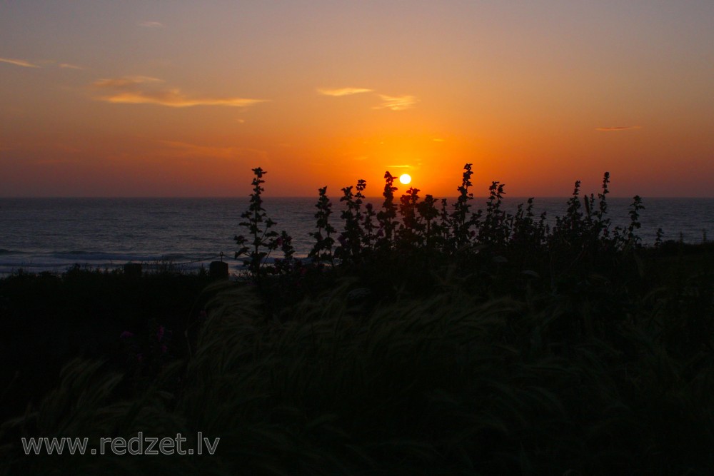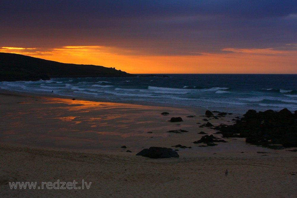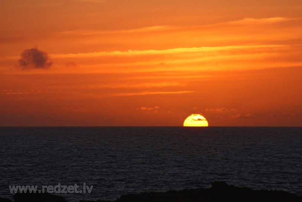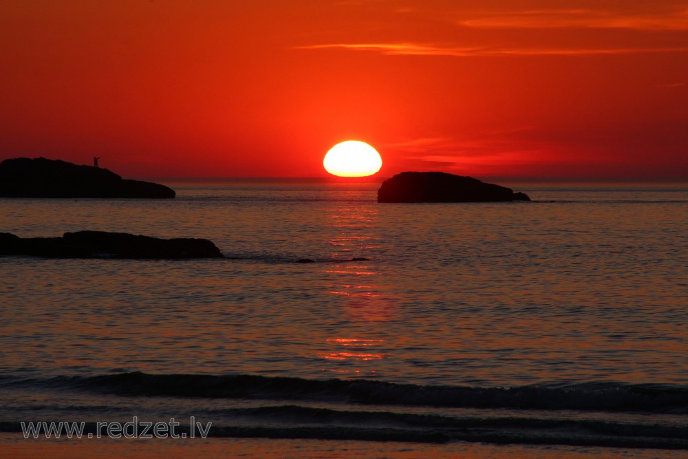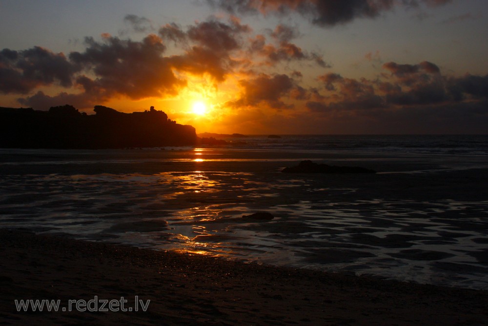
Sunset from Porthmeor beach in St Ives, Cornwall
Sunset from Porthmeor beach in St Ives, Cornwall
Code: AG-006-09
Photo taken on July 19, 2009
| FREE |
1000 x 667 px
72 dpi
|
111 KB | |
| L |
3571 x 2381 px
30.23 x 20.16 cm / 300 dpi
|
4.78 MB |
Support the redzet.lv project