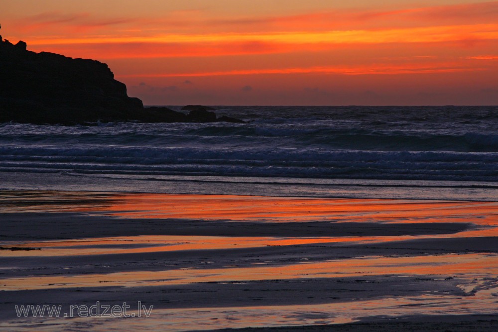
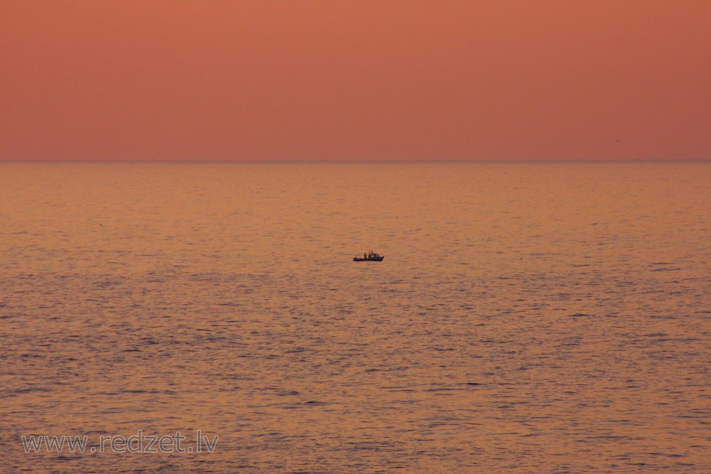
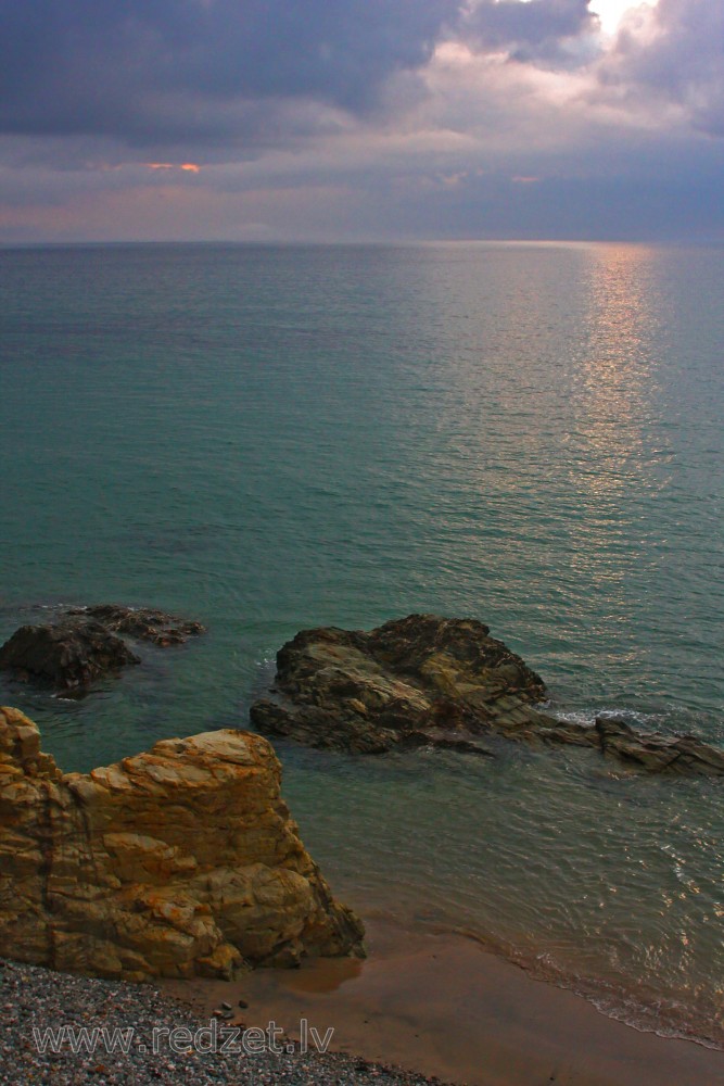
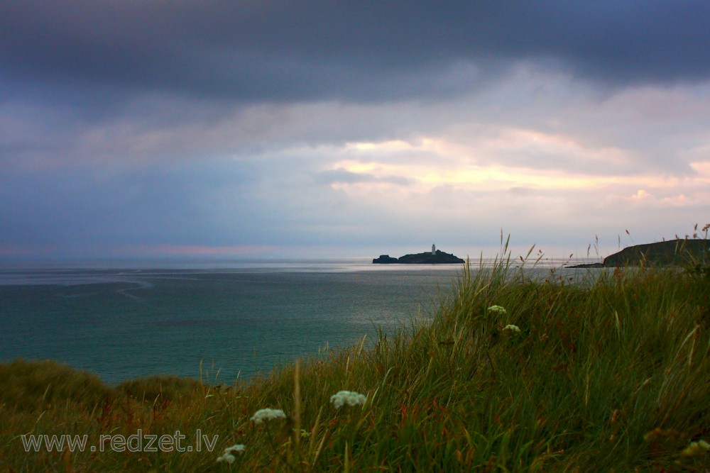
Atlantic Ocean
The Atlantic Ocean is the second largest of the world's oceans, with an area of about 106,460,000 square kilometers (41,100,000 square miles). It covers approximately 20 percent of the Earth's surface and about 29 percent of its water surface area. It separates the "Old World" from the "New World".
The Atlantic Ocean occupies an elongated, S-shaped basin extending longitudinally between Europe and Africa to the east, and the Americas to the west. As one component of the interconnected global ocean, it is connected in the north to the Arctic Ocean, to the Pacific Ocean in the southwest, the Indian Ocean in the southeast, and the Southern Ocean in the south (other definitions describe the Atlantic as extending southward to Antarctica). The Equatorial Counter Current subdivides it into the North Atlantic Ocean and the South Atlantic Ocean at about 8°N.
Scientific explorations of the Atlantic include the Challenger expedition, the German Meteor expedition, Columbia University's Lamont-Doherty Earth Observatory and the United States Navy Hydrographic Office.
Water characteristics
Surface water temperatures, which vary with latitude, current systems, and season and reflect the latitudinal distribution of solar energy, range from below −2 °C (28 °F) to over 30 °C (86 °F). Maximum temperatures occur north of the equator, and minimum values are found in the polar regions. In the middle latitudes, the area of maximum temperature variations, values may vary by 7–8 °C (13–14 °F).
From October to June the surface is usually covered with sea ice in the Labrador Sea, Denmark Strait, and Baltic Sea.
The Coriolis effect circulates North Atlantic water in a clockwise direction, whereas South Atlantic water circulates counter-clockwise. The south tides in the Atlantic Ocean are semi-diurnal; that is, two high tides occur during each 24 lunar hours. In latitudes above 40° North some east-west oscillation, known as the North Atlantic oscillation, occurs.
Salinity
On average, the Atlantic is the saltiest major ocean; surface water salinity in the open ocean ranges from 33 to 37 parts per thousand (3.3–3.7%) by mass and varies with latitude and season. Evaporation, precipitation, river inflow and sea ice melting influence surface salinity values. Although the lowest salinity values are just north of the equator (because of heavy tropical rainfall), in general the lowest values are in the high latitudes and along coasts where large rivers enter. Maximum salinity values occur at about 25° north and south, in subtropical regions with low rainfall and high evaporation.
The high surface salinity in the Atlantic, on which the Atlantic thermohaline circulation is dependent, is maintained by two processes: the Agulhas Leakage/Rings, which brings salty Indian Ocean waters into the South Atlantic, and the "Atmospheric Bridge", which evaporates subtropical Atlantic waters and exports it to the Pacific.
Water masses
The Atlantic Ocean consists of four major, upper water masses with distinct temperature and salinity. The Atlantic Subarctic Upper Water in the northern-most North Atlantic is the source for Subarctic Intermediate Water and North Atlantic Intermediate Water. North Atlantic Central Water can be divided into the Eastern and Western North Atlantic central Water since the western part is strongly affected by the Gulf Stream and therefore the upper layer is closer to underlying fresher subpolar intermediate water. The eastern water is saltier because of its proximity to Mediterranean Water. North Atlantic Central Water flows into South Atlantic Central Water at 15°N.
There are five intermediate waters: four low-salinity waters formed at subpolar latitudes and one high-salinity formed through evaporation. Arctic Intermediate Water, flows from north to become the source for North Atlantic Deep Water south of the Greenland-Scotland sill. These two intermediate waters have different salinity in the western and eastern basins. The wide range of salinities in the North Atlantic is caused by the asymmetry of the northern subtropical gyre and the large number of contributions from a wide range of sources: Labrador Sea, Norwegian-Greenland Sea, Mediterranean, and South Atlantic Intermediate Water.
The North Atlantic Deep Water (NADW) is a complex of four water masses, two that form by deep convection in the open ocean — Classical and Upper Labrador Sea Water — and two that form from the inflow of dense water across the Greenland-Iceland-Scotland sill — Denmark Strait and Iceland-Scotland Overflow Water. Along its path across Earth the composition of the NADW is affected by other water masses, especially Antarctic Bottom Water and Mediterranean Overflow Water. The NADW is fed by a flow of warm shallow water into the northern North Atlantic which is responsible for the anomalous warm climate in Europe. Changes in the formation of NADW have been linked to global climate changes in the past. Since man-made substances were introduced into the environment, the path of the NADW can be traced throughout its course by measuring tritium and radiocarbon from nuclear weapon tests in the 1960s and CFCs.
Gyres
The clockwise warm-water North Atlantic Gyre occupies the northern Atlantic, and the counter-clockwise warm-water South Atlantic Gyre appears in the southern Atlantic.
In the North Atlantic, surface circulation is dominated by three inter-connected currents: the Gulf Stream which flows north-east from the North American coast at Cape Hatteras; the North Atlantic Current, a branch of the Gulf Stream which flows northward from the Grand Banks; and the Subpolar Front, an extension of the North Atlantic Current, a wide, vaguely defined region separating the subtropical gyre from the subpolar gyre. This system of currents transport warm water into the North Atlantic, without which temperatures in the North Atlantic and Europe would plunge dramatically.
North of the North Atlantic Gyre, the cyclonic North Atlantic Subpolar Gyre plays a key role in climate variability. It is governed by ocean currents from marginal seas and regional topography, rather than being steered by wind, both in the deep ocean and at sea level. The subpolar gyre forms an important part of the global thermohaline circulation. Its eastern portion includes eddying branches of the North Atlantic Current which transport warm, saline waters from the subtropics to the north-eastern Atlantic. There this water is cooled during winter and forms return currents that merge along the eastern continental slope of Greenland where they form an intense (40–50 Sv) current which flows around the continental margins of the Labrador Sea. A third of this water become parts of the deep portion of the North Atlantic Deep Water (NADW). The NADW, in its turn, feed the meridional overturning circulation (MOC), the northward heat transport of which is threatened by anthropogenic climate change. Large variations in the subpolar gyre on a decade-century scale, associated with the North Atlantic oscillation, are especially pronounced in Labrador Sea Water, the upper layers of the MOC.
The South Atlantic is dominated by the anti-cyclonic southern subtropical gyre. The South Atlantic Central Water originates in this gyre, while Antarctic Intermediate Water originates in the upper layers of the circumpolar region, near the Drake Passage and Falkland Islands. Both these currents receive some contribution from the Indian Ocean. On the African east coast the small cyclonic Angola Gyre lies embedded in the large subtropical gyre. The southern subtropical gyre is partly masked by a wind-induced Ekman layer. The residence time of the gyre is 4.4–8.5 years. North Atlantic Deep Water flows southerward below the thermocline of the subtropical gyre.
Sargasso Sea
The Sargasso Sea in the western North Atlantic can be defined as the area where two species of Sargassum (S. fluitans and natans) float, an area 4,000 km (2,500 mi) wide and encircled by the Gulf Stream, North Atlantic Drift, and North Equatorial Current. This population of seaweed probably originated from Tertiary ancestors on the European shores of the former Tethys Ocean and has, if so, maintained itself by vegetative growth, floating in the ocean for millions of years.
Other species endemic to the Sargasso Sea include the sargassum fish, a predator with algae-like appendages which hovers motionless among the Sargassum. Fossils of similar fishes have been found in fossil bays of the former Tethys Ocean, in what is now the Carpathian region, that were similar to the Sargasso Sea. It is possible that the population in the Sargasso Sea migrated to the Atlantic as the Tethys closed at the end of the Miocene around 17 Ma. The origin of the Sargasso fauna and flora remained enigmatic for centuries. The fossils found in the Carpathians in the mid-20th century, often called the "quasi-Sargasso assemblage", finally showed that this assemblage originated in the Carpathian Basin from where it migrated over Sicily to the Central Atlantic where it evolved into modern species of the Sargasso Sea.
The location of the spawning ground for European eels remained unknown for decades. In the early 19th century it was discovered that the southern Sargasso Sea is the spawning ground for both the European and American eel and that the former migrate more than 5,000 km (3,100 mi) and the latter 2,000 km (1,200 mi). Ocean currents such as the Gulf Stream transport eel larvae from the Sargasso Sea to foraging areas in North America, Europe, and Northern Africa. Recent but disputed research suggests that eels possibly use Earth's magnetic field to navigate through the ocean both as larvae and as adults.
Climate
Climate is influenced by the temperatures of the surface waters and water currents as well as winds. Because of the ocean's great capacity to store and release heat, maritime climates are more moderate and have less extreme seasonal variations than inland climates. Precipitation can be approximated from coastal weather data and air temperature from water temperatures.
The oceans are the major source of the atmospheric moisture that is obtained through evaporation. Climatic zones vary with latitude; the warmest zones stretch across the Atlantic north of the equator. The coldest zones are in high latitudes, with the coldest regions corresponding to the areas covered by sea ice. Ocean currents influence climate by transporting warm and cold waters to other regions. The winds that are cooled or warmed when blowing over these currents influence adjacent land areas.
The Gulf Stream and its northern extension towards Europe, the North Atlantic Drift is thought to have at least some influence on climate. For example, the Gulf Stream helps moderate winter temperatures along the coastline of southeastern North America, keeping it warmer in winter along the coast than inland areas. The Gulf Stream also keeps extreme temperatures from occurring on the Florida Peninsula. In the higher latitudes, the North Atlantic Drift, warms the atmosphere over the oceans, keeping the British Isles and north-western Europe mild and cloudy, and not severely cold in winter like other locations at the same high latitude. The cold water currents contribute to heavy fog off the coast of eastern Canada (the Grand Banks of Newfoundland area) and Africa's north-western coast. In general, winds transport moisture and air over land areas.
en.wikipedia.org