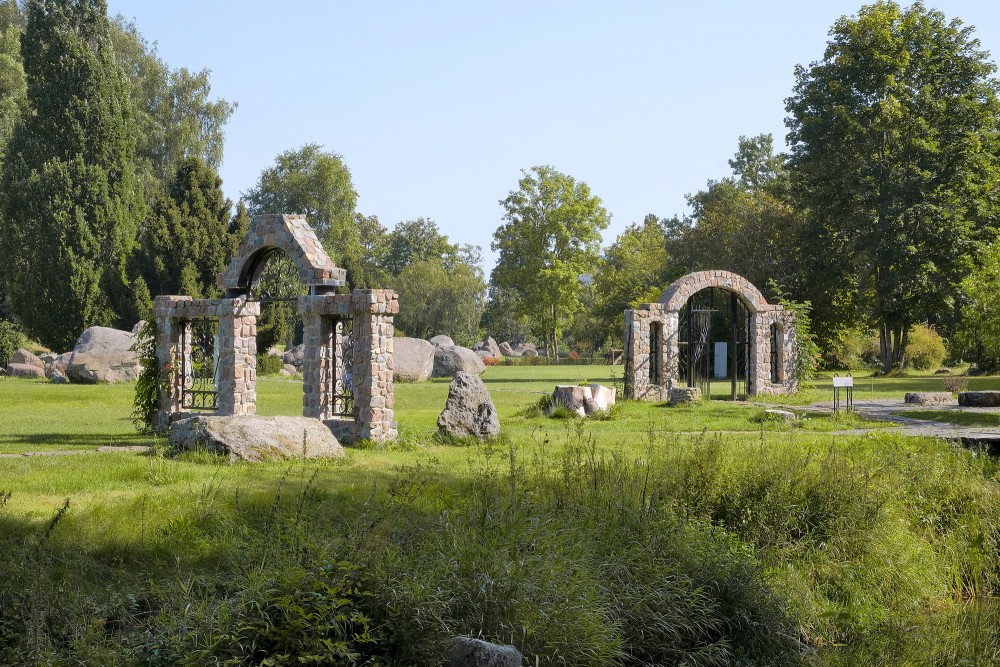
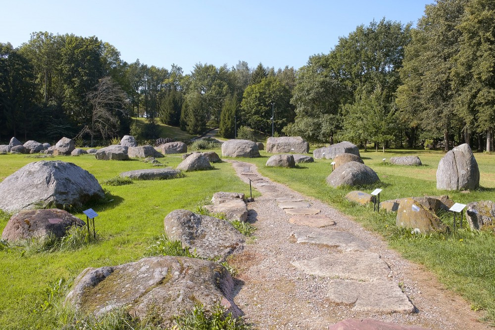
Stone park area map with routes and points of interest
The image shows a large information board displaying a detailed map of a stone park, set in a green area surrounded by trees. The map presents the entire park layout, including paths, water features, bridges, and numbered points of interest. The design is colorful and clear, intended to help visitors navigate the area.
At the top of the board, the title “Akmens parko planas” is clearly visible, while the bottom section contains a legend with symbols and explanations in several languages. This highlights the park’s public and educational purpose. The board is mounted within a sturdy metal frame.
The surrounding environment appears well maintained, with trimmed grass and leafy trees in the background. The overall impression is of a thoughtfully planned outdoor space suitable for relaxed walks and structured exploration.
Stone park area map with routes and points of interest
| FREE |
1000 x 667 px
72 dpi
|
281 KB | |
| L |
6000 x 4000 px
50.8 x 33.87 cm / 300 dpi
|
19.7 MB |
Support the redzet.lv project