River
A river is a natural flowing watercourse, usually freshwater, flowing towards an ocean, sea, lake or another river. In some cases a river flows into the ground and becomes dry at the end of its course without reaching another body of water. Small rivers can be referred to using names such as stream, creek, brook, rivulet, and rill. There are no official definitions for the generic term river as applied to geographic features, although in some countries or communities a stream is defined by its size. Many names for small rivers are specific to geographic location; examples are "run" in some parts of the United States, "burn" in Scotland and northeast England, and "beck" in northern England. Sometimes a river is defined as being larger than a creek, but not always: the language is vague.
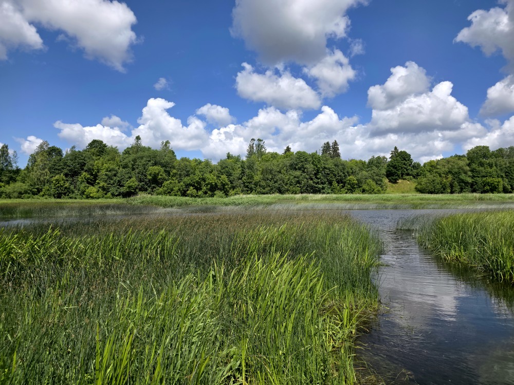
Rivers are part of the hydrological cycle. Water generally collects in a river from precipitation through a drainage basin from surface runoff and other sources such as groundwater recharge, springs, and the release of stored water in natural ice and snowpacks (e.g., from glaciers). Potamology is the scientific study of rivers, while limnology is the study of inland waters in general.
Topography
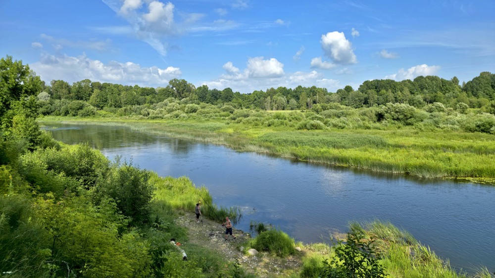
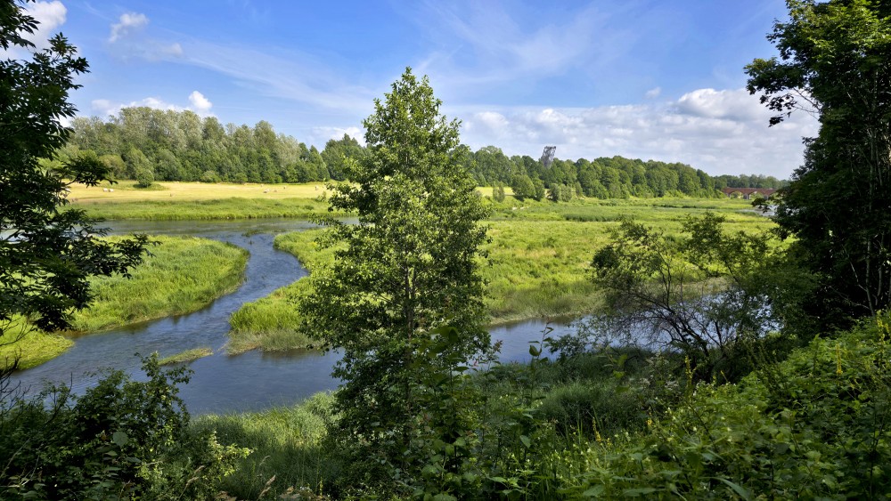
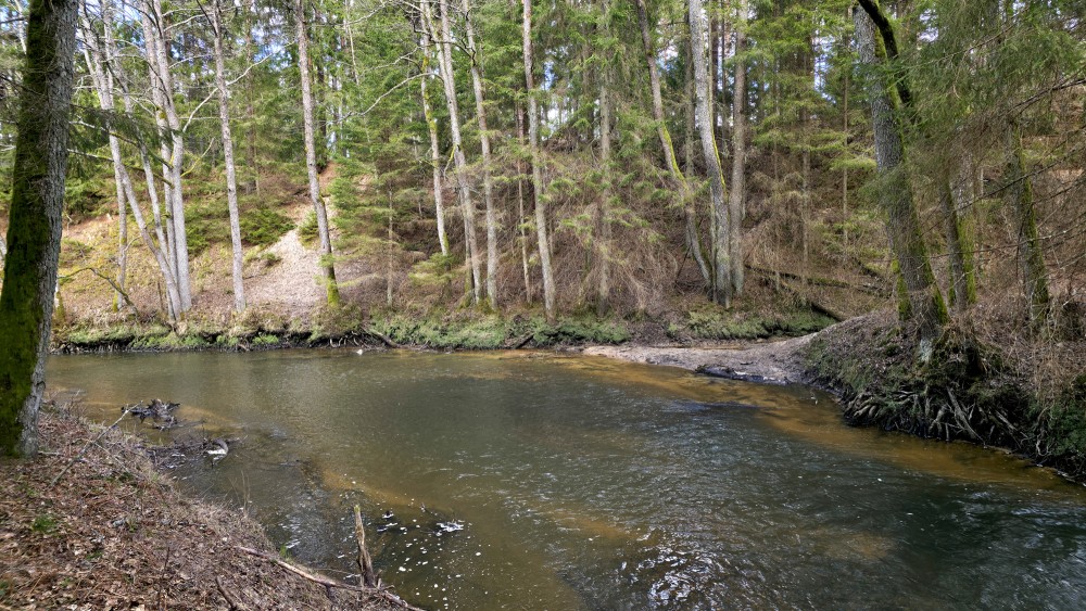
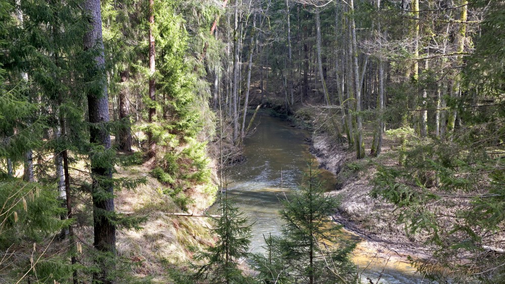
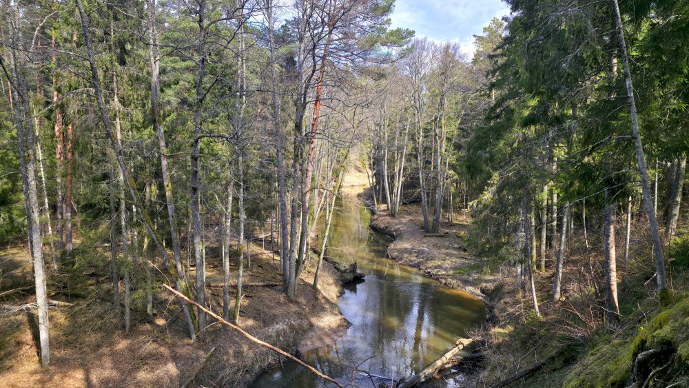
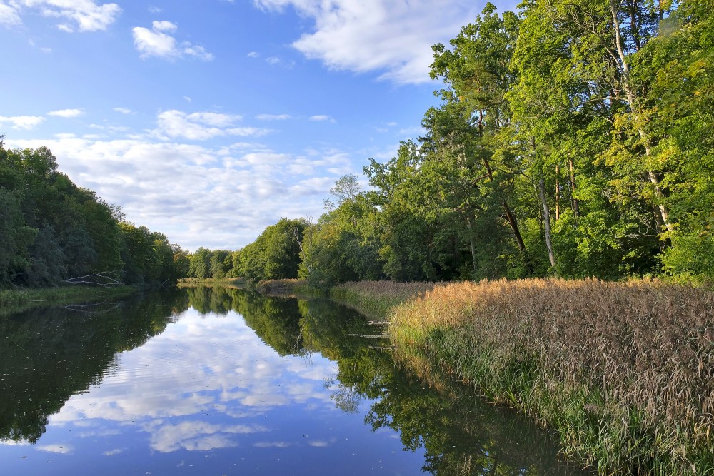
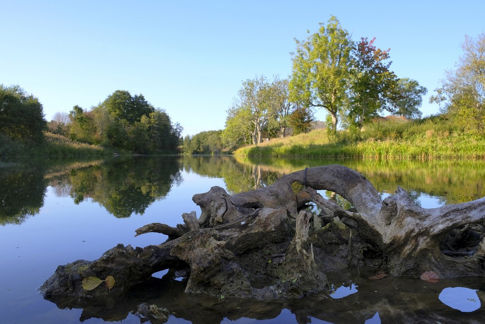
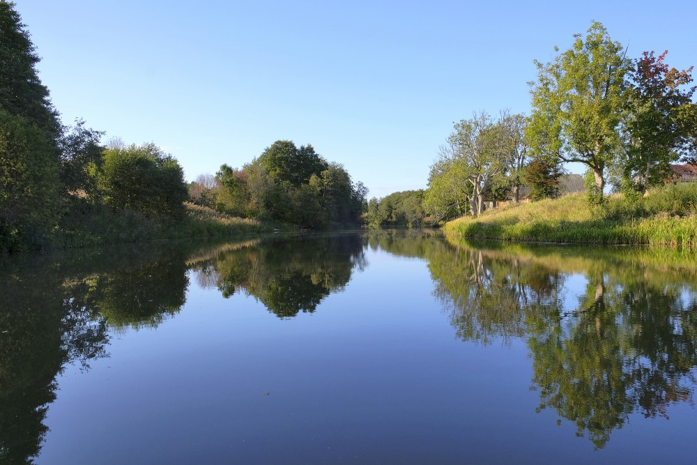
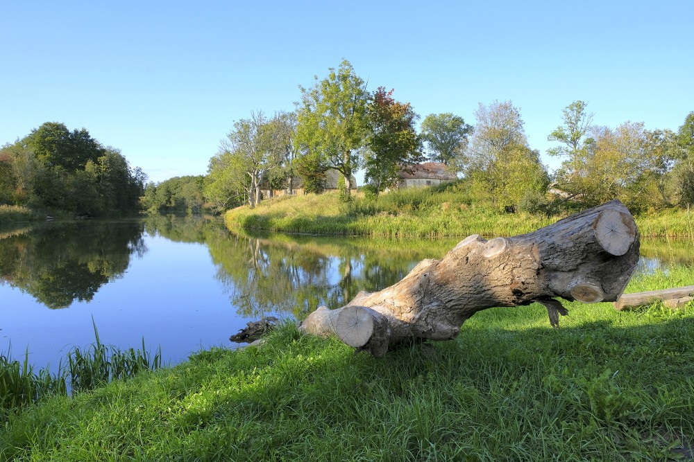
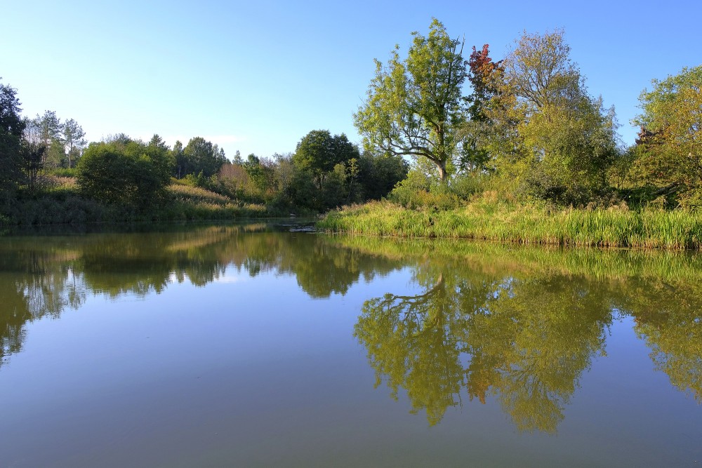
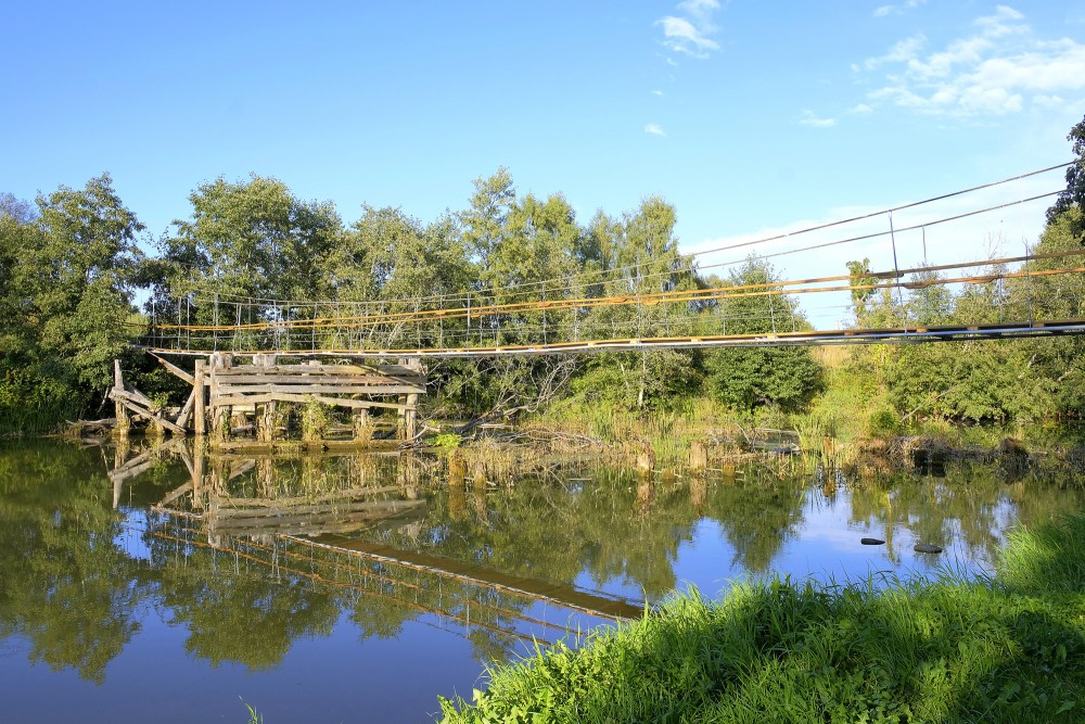
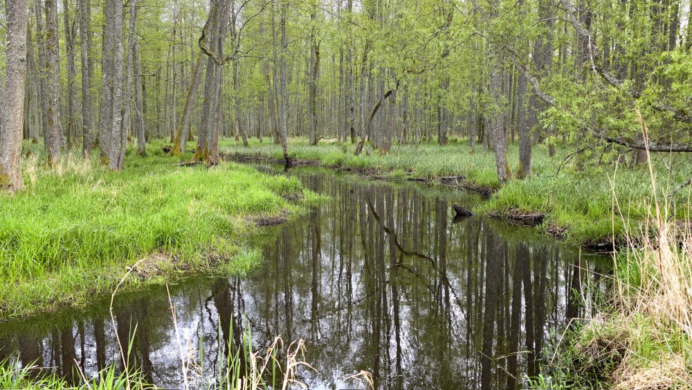
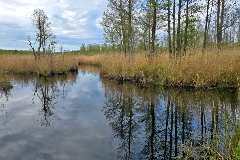
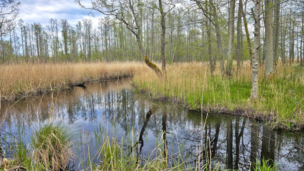
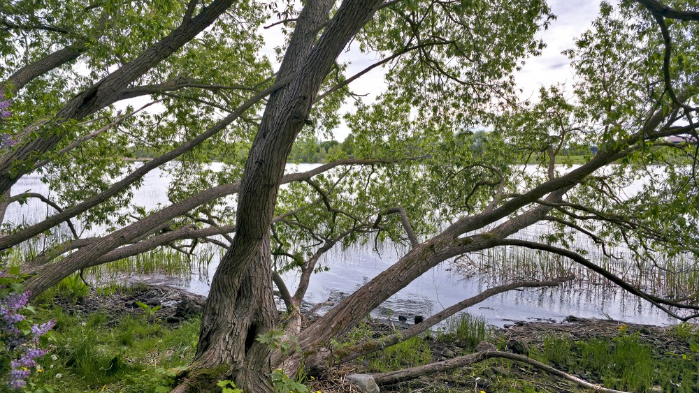
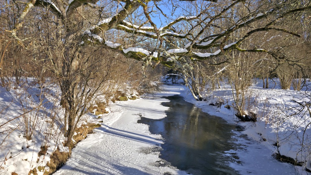
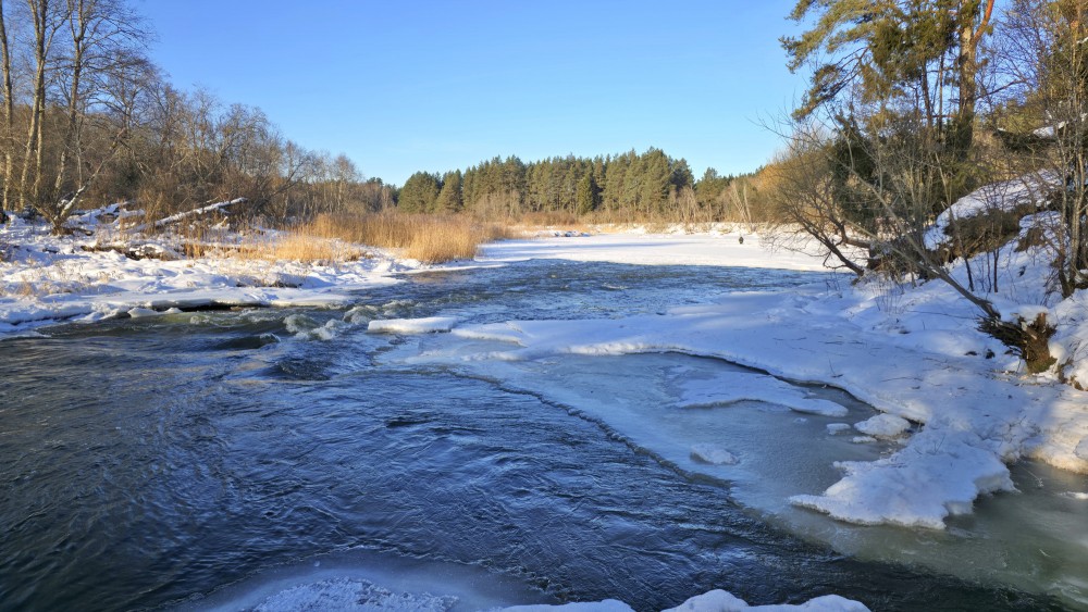
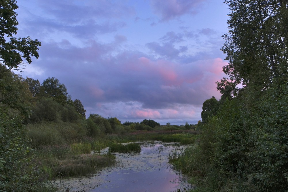
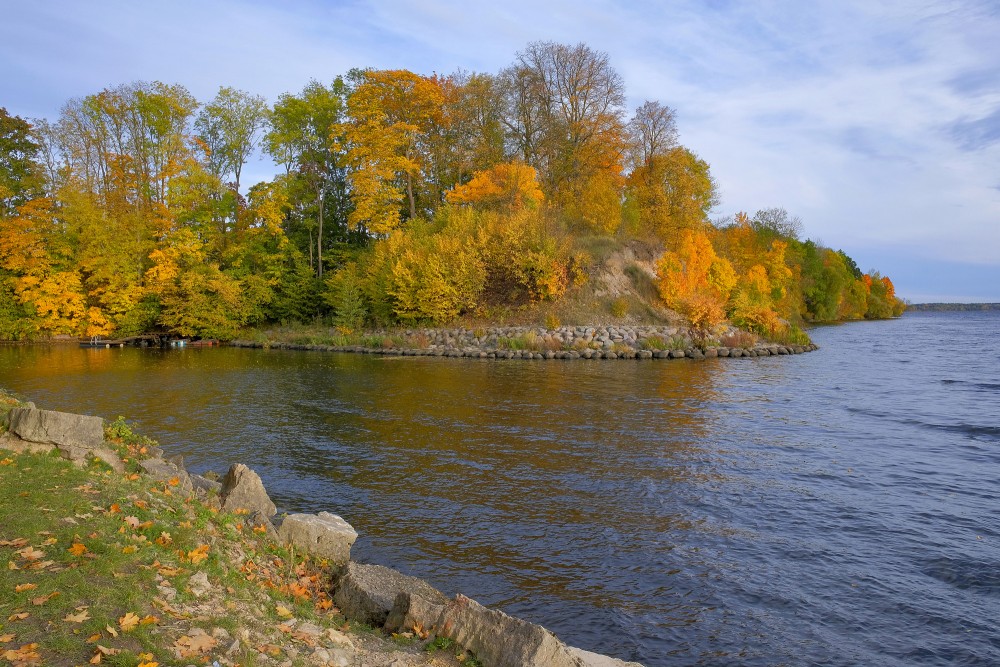
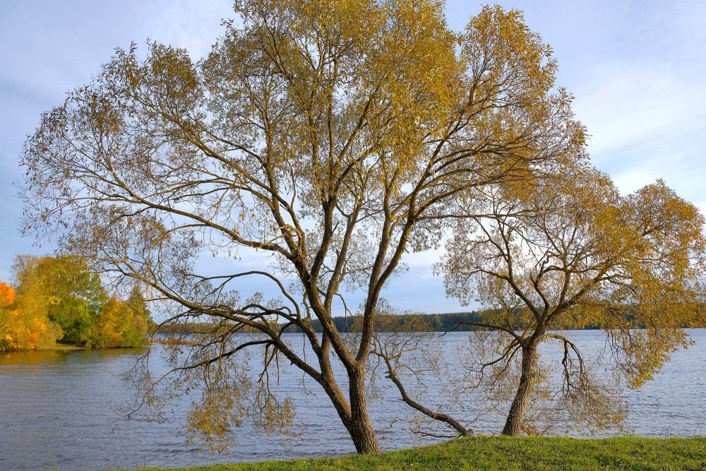
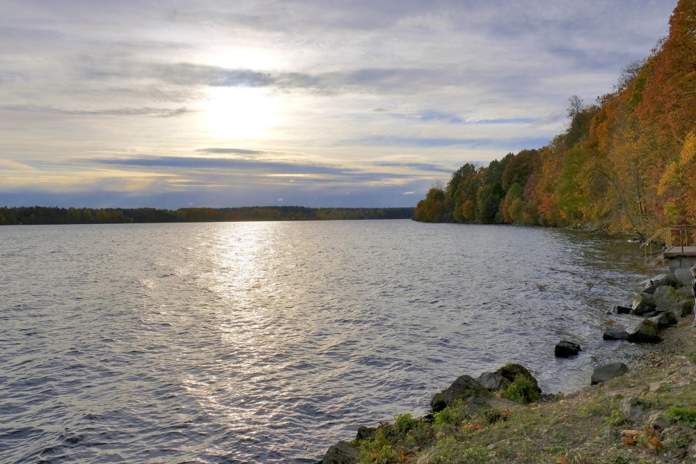
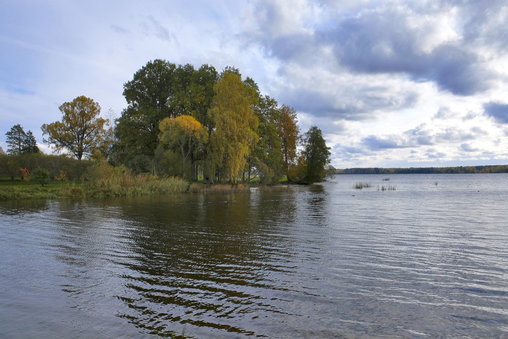
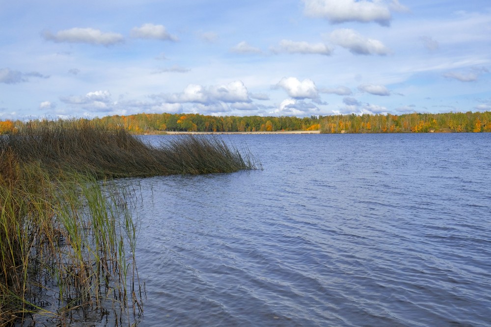
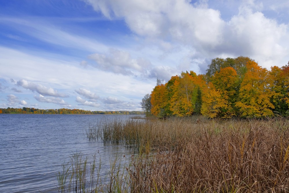
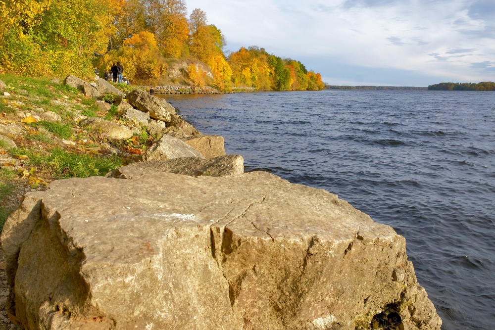
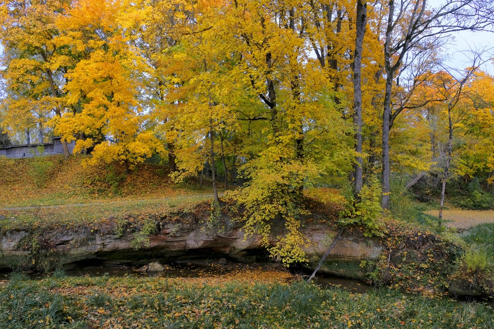
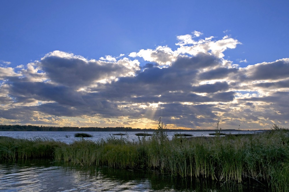
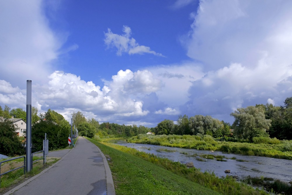
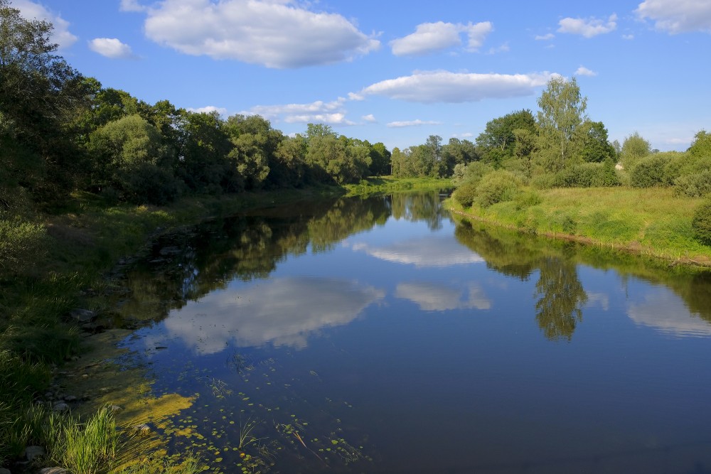
A river begins at a source (or more often several sources), follows a path called a course, and ends at a mouth or mouths. The water in a river is usually confined to a channel, made up of a stream bed between banks. In larger rivers there is often also a wider floodplain shaped by flood-waters over-topping the channel. Floodplains may be very wide in relation to the size of the river channel. This distinction between river channel and floodplain can be blurred, especially in urban areas where the floodplain of a river channel can become greatly developed by housing and industry.
Rivers can flow down mountains, through valleys (depressions) or along plains, and can create canyons or gorges.
The term upriver (or upstream) refers to the direction towards the source of the river, i.e. against the direction of flow. Likewise, the term downriver (or downstream) describes the direction towards the mouth of the river, in which the current flows.
The term left bank refers to the left bank in the direction of flow, right bank to the right.
The river channel typically contains a single stream of water, but some rivers flow as several interconnecting streams of water, producing a braided river. Extensive braided rivers are now found in only a few regions worldwide, such as the South Island of New Zealand. They also occur on peneplains and some of the larger river deltas. Anastamosing rivers are similar to braided rivers and are quite rare. They have multiple sinuous channels carrying large volumes of sediment. There are rare cases of river bifurcation in which a river divides and the resultant flows ending in different seas. An example is the bifurcation of Nerodime River in Kosovo.
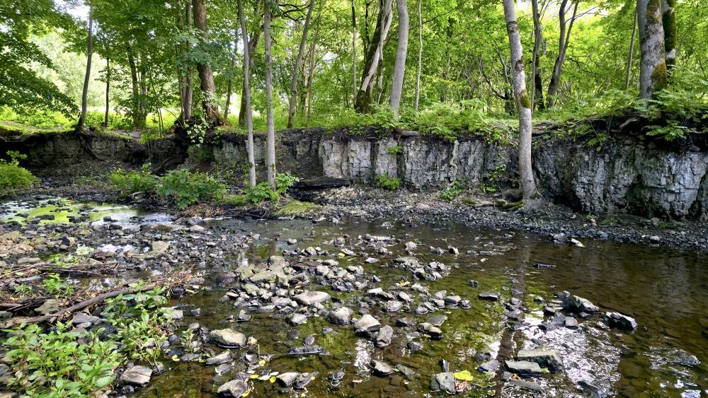
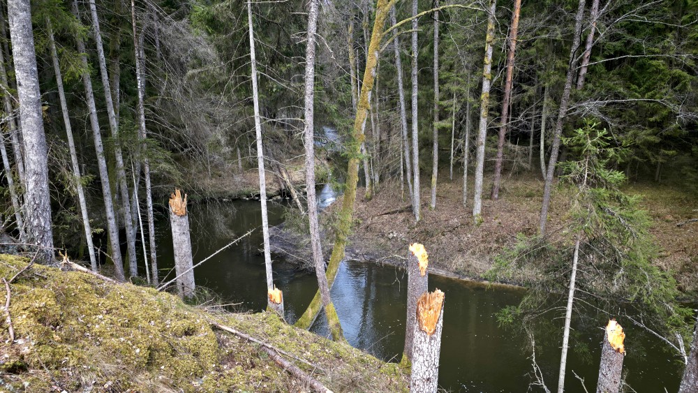
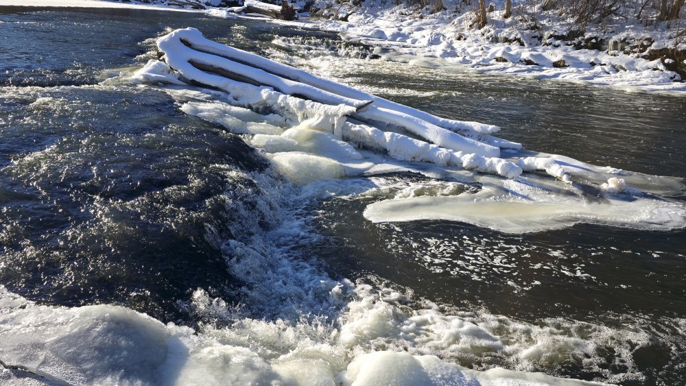
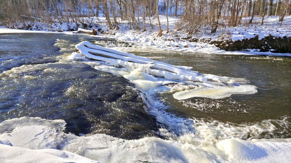
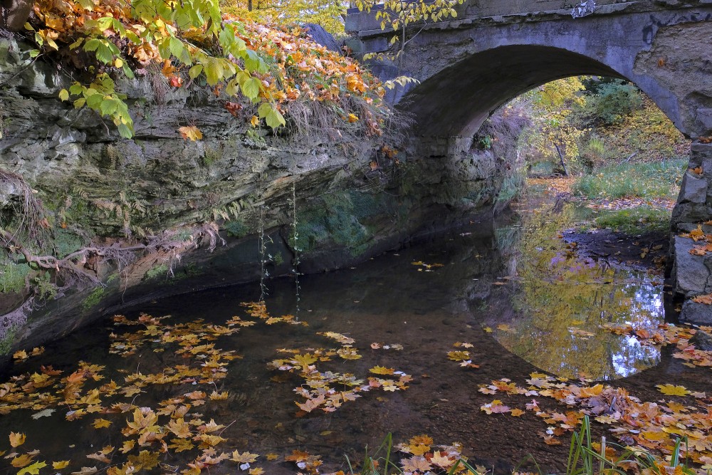
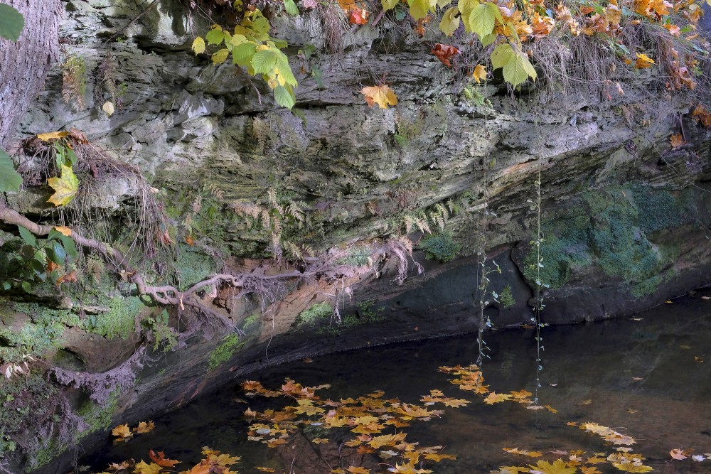
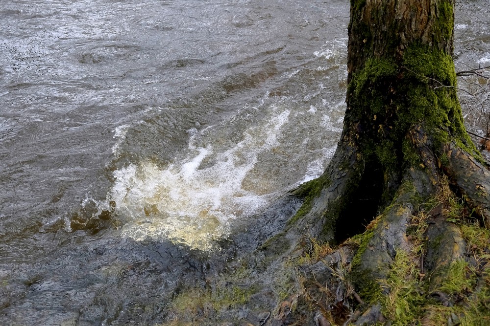
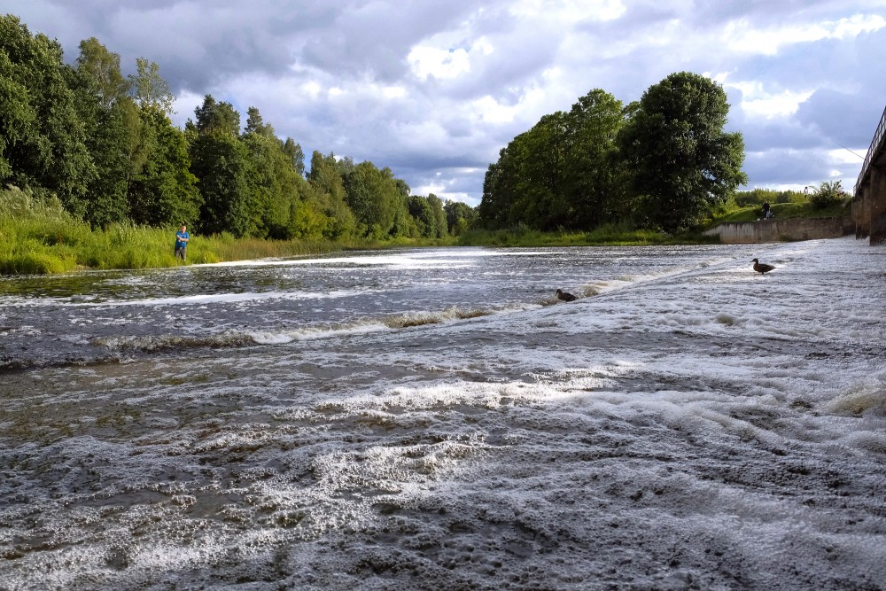
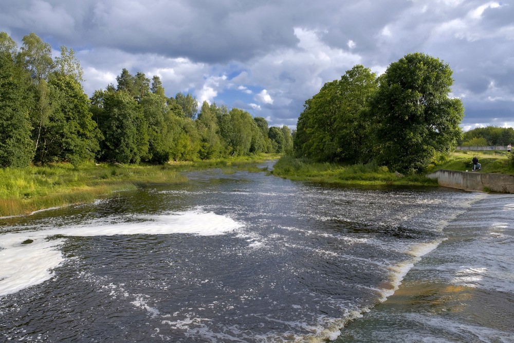
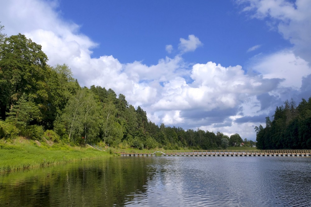
A river flowing in its channel is a source of energy which acts on the river channel to change its shape and form. In 1757, the German hydrologist Albert Brahms empirically observed that the submerged weight of objects that may be carried away by a river is proportional to the sixth power of the river flow speed. This formulation is also sometimes called Airy's law. Thus, if the speed of flow is doubled, the flow would dislodge objects with 64 times as much submerged weight. In mountainous torrential zones this can be seen as erosion channels through hard rocks and the creation of sands and gravels from the destruction of larger rocks. A river valley that was created from a U-shaped glaciated valley, can often easily be identified by the V-shaped channel that it has carved. In the middle reaches where a river flows over flatter land, meanders may form through erosion of the river banks and deposition on the inside of bends. Sometimes the river will cut off a loop, shortening the channel and forming an oxbow lake or billabong. Rivers that carry large amounts of sediment may develop conspicuous deltas at their mouths. Rivers whose mouths are in saline tidal waters may form estuaries.
Throughout the course of the river, the total volume of water transported downstream will often be a combination of the free water flow together with a substantial volume flowing through sub-surface rocks and gravels that underlie the river and its floodplain (called the hyporheic zone). For many rivers in large valleys, this unseen component of flow may greatly exceed the visible flow.
Subsurface streams
Most but not all rivers flow on the surface. Subterranean rivers flow underground in caves or caverns. Such rivers are frequently found in regions with limestone geologic formations. Subglacial streams are the braided rivers that flow at the beds of glaciers and ice sheets, permitting meltwater to be discharged at the front of the glacier. Because of the gradient in pressure due to the overlying weight of the glacier, such streams can even flow uphill.
Permanence of flow
An intermittent river (or ephemeral river) only flows occasionally and can be dry for several years at a time. These rivers are found in regions with limited or highly variable rainfall, or can occur because of geologic conditions such as a highly permeable river bed. Some ephemeral rivers flow during the summer months but not in the winter. Such rivers are typically fed from chalk aquifers which recharge from winter rainfall. In England these rivers are called bournes and give their name to places such as Bournemouth and Eastbourne. Even in humid regions, the location where flow begins in the smallest tributary streams generally moves upstream in response to precipitation and downstream in its absence or when active summer vegetation diverts water for evapotranspiration. Normally-dry rivers in arid zones are often identified as arroyos or other regional names.
The meltwater from large hailstorms can create a slurry of water, hail and sand or soil, forming temporary rivers.
Uses
Rivers have been used as a source of water, for obtaining food, for transport, as a defensive measure, as a source of hydropower to drive machinery, for bathing, and as a means of disposing of waste.
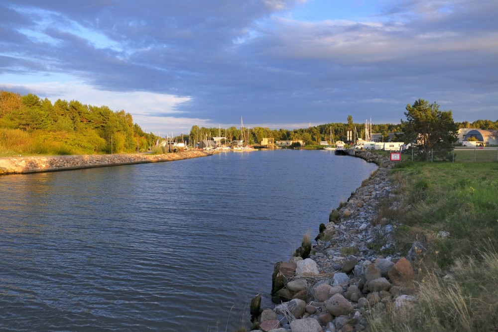
Rivers have been used for navigation for thousands of years. The earliest evidence of navigation is found in the Indus Valley Civilization, which existed in northwestern India around 3300 BC. Riverine navigation provides a cheap means of transport, and is still used extensively on most major rivers of the world like the Amazon, the Ganges, the Nile, the Mississippi, and the Indus. Since river boats are often not regulated, they contribute a large amount to global greenhouse gas emissions, and to local cancer due to inhaling of particulates emitted by the transports.
In some heavily forested regions such as Scandinavia and Canada, lumberjacks use the river to float felled trees downstream to lumber camps for further processing, saving much effort and cost by transporting the huge heavy logs by natural means.
Rivers have been a source of food since pre-history. They are often a rich source of fish and other edible aquatic life, and are a major source of fresh water, which can be used for drinking and irrigation. Most of the major cities of the world are situated on the banks of rivers. Rivers help to determine the urban form of cities and neighbourhoods and their corridors often present opportunities for urban renewal through the development of foreshoreways such as river walks. Rivers also provide an easy means of disposing of waste water and, in much of the less developed world, other wastes.
Fast flowing rivers and waterfalls are widely used as sources of energy, via watermills and hydroelectric plants. Evidence of watermills shows them in use for many hundreds of years, for instance in Orkney at Dounby Click Mill. Prior to the invention of steam power, watermills for grinding cereals and for processing wool and other textiles were common across Europe. In the 1890s the first machines to generate power from river water were established at places such as Cragside in Northumberland and in recent decades there has been a significant increase in the development of large scale power generation from water, especially in wet mountainous regions such as Norway.
The coarse sediments, gravel, and sand, generated and moved by rivers are extensively used in construction. In parts of the world this can generate extensive new lake habitats as gravel pits re-fill with water. In other circumstances it can destabilise the river bed and the course of the river and cause severe damage to spawning fish populations which rely on stable gravel formations for egg laying.
In upland rivers, rapids with whitewater or even waterfalls occur. Rapids are often used for recreation, such as whitewater kayaking.
Rivers have been important in determining political boundaries and defending countries. For example, the Danube was a long-standing border of the Roman Empire, and today it forms most of the border between Bulgaria and Romania. The Mississippi in North America and the Rhine in Europe are major east-west boundaries in those continents. The Orange and Limpopo Rivers in southern Africa form the boundaries between provinces and countries along their routes.
en.wikipedia.org