Pāvilosta North Pier
History
Similar to the South Pier, construction of the North Pier began in 1878 under the initiative of Baron Otto Friedrich von Lilienfeld. The river mouth was intentionally narrowed so that spring floods would naturally flush out and deepen the riverbed. In 1929, the pier was reinforced with concrete blocks. Until the restoration of Latvia's independence, the pier was heavily monitored by the USSR border guard, and unauthorized access was strictly forbidden.
Architectural Features
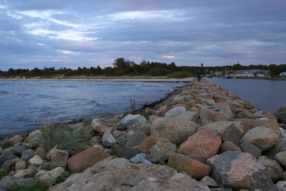
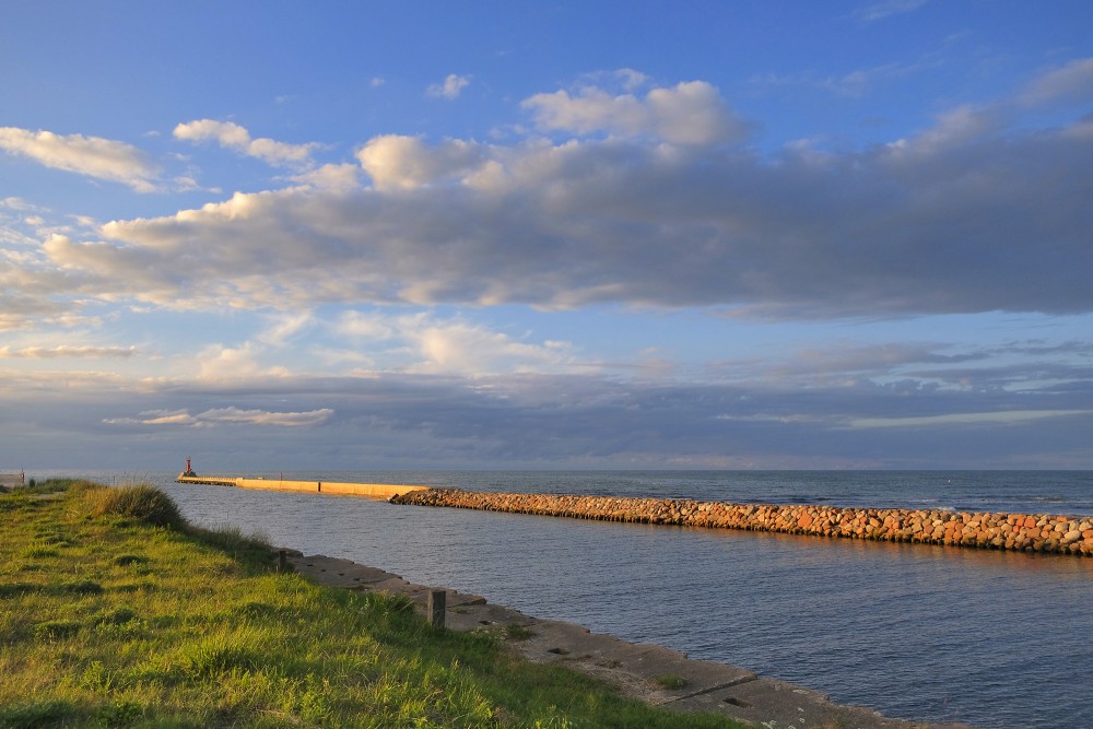
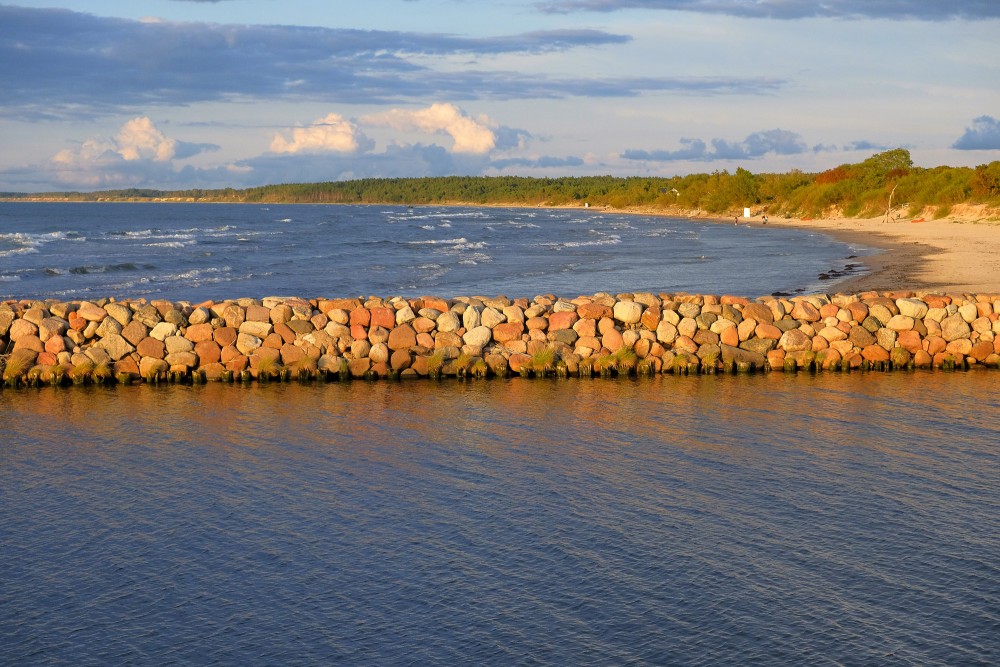
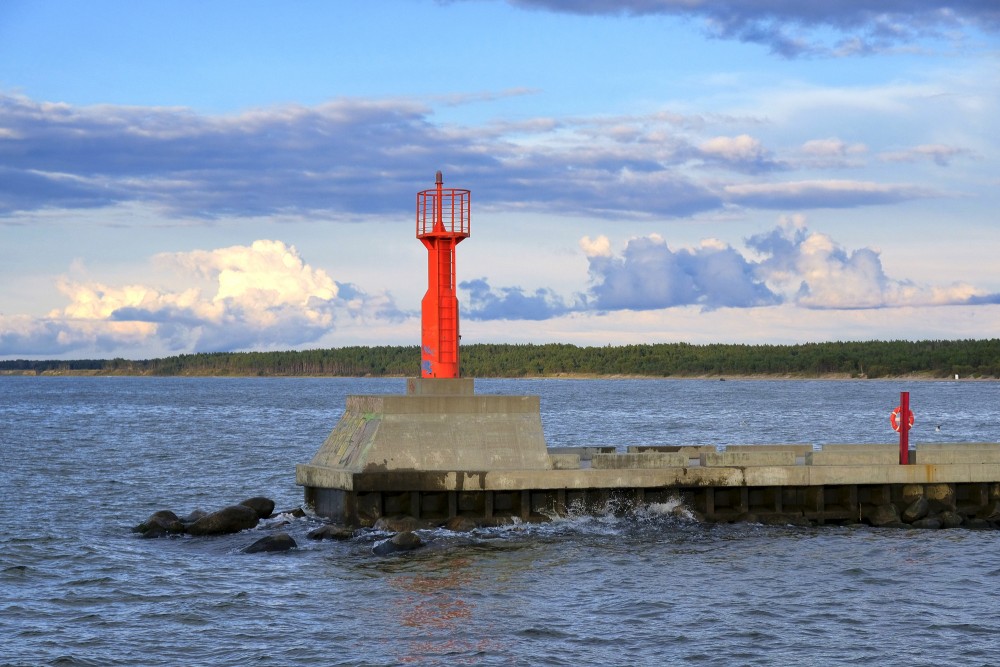
The North Pier shares a similar structural design with the South Pier, consisting of a boulder core topped with concrete structures. Following the 2019 reconstruction, the pier was extended to its current total length of 333.97 meters. It features a flat, monolithic concrete walkway for visitors. A red navigation light (beacon) stands at the head of the pier, which, together with the green beacon on the southern side, marks the safe channel into the port.
Modern Function
The North Pier functions as an engineering barrier that prevents prevailing winds from drifting sand into the shipping fairway and protects the port channel from heavy swells. Fully renovated and safe for walking, it serves as a prominent vantage point for watching sunsets and capturing marine photography, drawing numerous visitors to Pāvilosta.
Interesting Facts
-
The distance between the heads of the two piers (the port entrance) is only 52 meters. This relatively narrow inlet historically made maneuvering larger vessels challenging during heavy storms.
-
The extension of the piers by more than 100 meters in 2019 was crucial to reach a greater natural sea depth (over 4.5 meters), allowing modern commercial fishing trawlers and larger recreational yachts to enter the port safely.