Lake Constance (Bodensee)
Lake Constance (German: Bodensee) is a lake on the Rhine at the northern foot of the Alps, and consists of three bodies of water: the Obersee or Upper Lake Constance, the Untersee or Lower Lake Constance, and a connecting stretch of the Rhine, called the Seerhein. These waterbodies lie within the Lake Constance Basin (Bodenseebecken), which is part of the Alpine Foreland and through which the Rhine flows.
The lake is situated in Germany, Switzerland, and Austria. Its shorelines lie in the German states of Bavaria and Baden-Württemberg, the Austrian state of Vorarlberg, and the Swiss cantons of Thurgau, St. Gallen, and Schaffhausen. The Rhine flows into the lake from the south, with its original course forming the Austro-Swiss border, and has its outflow on the "Lower Lake" where — except for Schaffhausen — it forms the German-Swiss border until the city of Basel.
| Lake Constance | |
| Bodensee | |
| Location | Germany, Switzerland, Austria |
| Type | glacial lake |
| Part of | Rhine |
| Primary inflows | Alpine Rhine |
| Primary outflows | High Rhine |
| Catchment area | 11,500 km2 (4,400 sq mi) |
| Max. length | 63 km (39 mi) |
| Max. width | 14 km (8.7 mi) |
| Surface area | 536 km2 (207 sq mi) |
| Average depth | 90 m (300 ft) |
| Max. depth | 251 m (823 ft) |
| Water volume | 48 km3 (12 cu mi) |
| Residence time | 4.3 years |
| Shore length1 | 273 km (170 mi) |
| Surface elevation | 395 m (1,296 ft) |
Description
Lake Constance is the third largest freshwater lake in Central and Western Europe in terms of surface area (and the second largest in terms of volume), after Lake Geneva and (in terms of surface area) Lake Balaton.
It is 63 km (39 mi) long, and at its widest point, nearly 14 km (8.7 mi) wide. It covers approximately 536 km2 (207 sq mi), and is 395 m (1,296 ft) above sea level. The greatest depth is 252 metres (827 ft), quite precisely in the middle of the Upper Lake. Its volume is approximately 48 km3 (12 cu mi).
The lake has two parts: the main east section, called Obersee or "Upper Lake", covers about 473 square kilometres (183 sq mi), to which also its northwestern arm, the Überlinger See (61 km2 (24 sq mi)), belongs, and the much smaller west section, summarizingly called Untersee or "Lower Lake", with an area of about 63 square kilometres (24 sq mi).
The connecting part between these two lake parts is the Seerhein (lit.: "Lake Rhine"). Geographically, it is sometimes not considered to be part of the lake, but a river.
The Lower Lake Constance is loosely divided into three sections around the Island of Reichenau: The two German parts, the Gnadensee (lit.: "Lake Mercy") north of the island and north of the peninsula of Mettnau (the Markelfinger Winkel), and the Zeller See, south of Radolfzell and to the northwest of the Reichenau island, and the mainly Swiss Rheinsee (lit.: "Rhine Lake") – not to be mismatched with the Seerhein at its start! – to the south of the island and with its southwestern arm leading to its effluent in Stein am Rhein.
The river water of the regulated Alpine Rhine flows into the lake in the southeast near Bregenz, Austria, then through the Upper Lake Constance hardly targeting the Überlinger See, into the Seerhein in the town of Konstanz, then through the Rheinsee virtually without feeding both German parts of the Lower Lake, and finally feeds the start of the High Rhine in Swiss town Stein am Rhein.
The lake itself is an important drinking water source for southwestern Germany.
The culminating point of the lake's drainage basin is the Swiss peak Piz Russein of the Tödi massif of the Glarus Alps at 3,613 metres (11,854 ft) above sea level. It starts with the creek Aua da Russein (lit.: "Water of the Russein").
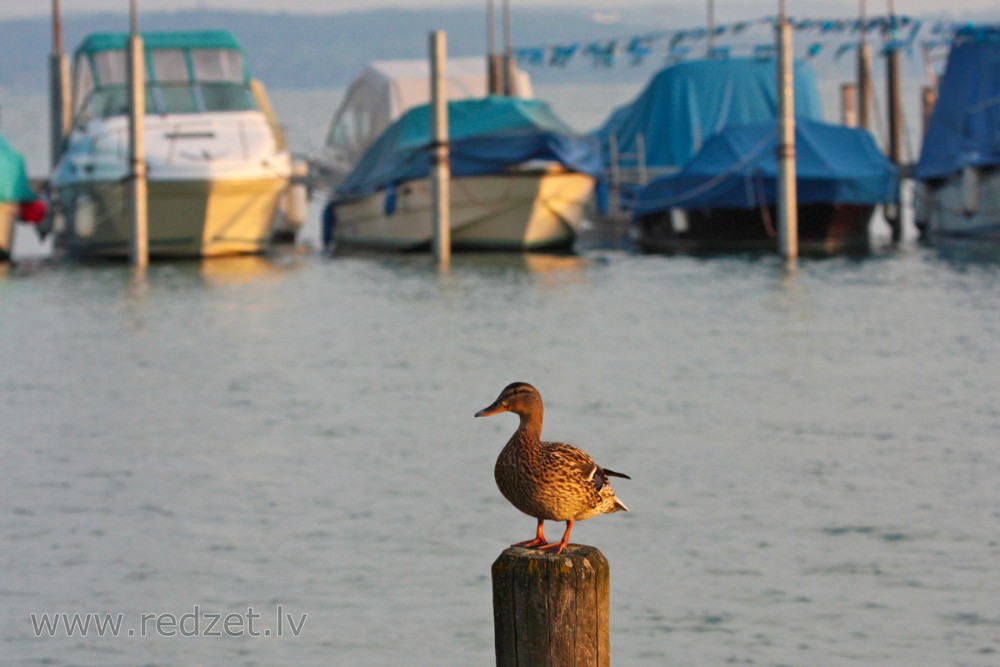
Car ferries link Romanshorn, Switzerland, to Friedrichshafen, and Konstanz to Meersburg, all in Germany.
en.wikipedia.org